Esri at GIS-T: Discover Innovative Solutions for Transportation
ArcGIS
MARCH 21, 2024
A highly anticipated event for transportation professionals. Read about Esri's presence at the conference.
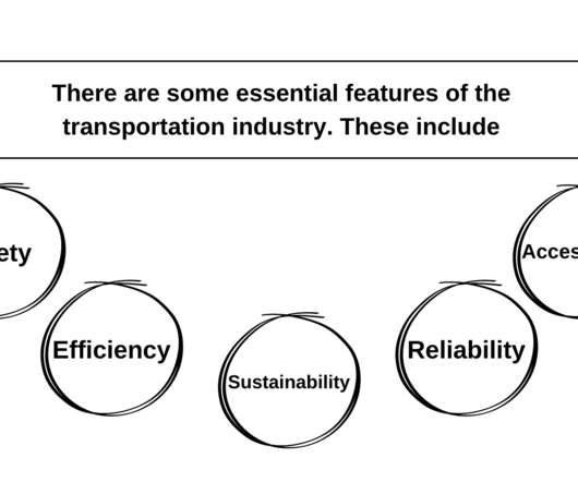
 Transportation Related Topics
ArcGIS
MARCH 21, 2024
A highly anticipated event for transportation professionals. Read about Esri's presence at the conference.
ArcGIS
OCTOBER 17, 2023
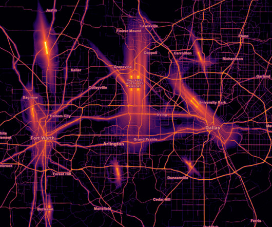
The Living Atlas of the World just updated the tiled, hosted image service featuring transportation noise, from the USDOT.
This site is protected by reCAPTCHA and the Google Privacy Policy and Terms of Service apply.
Edureka
FEBRUARY 7, 2023
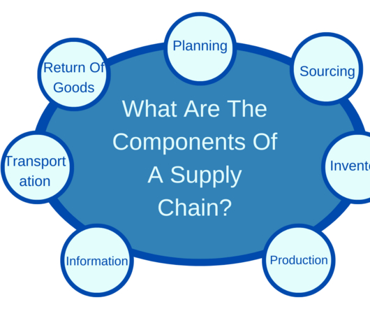
Difference Between Transportation and Logistics: Businesses rely on transportation to move goods and materials from one location to another. Once the goods have been transported to their destination, logistics takes over to ensure that they are stored and distributed correctly. What is Transportation? What Is Logistics?

Snowflake
JANUARY 25, 2023
Scania is at the forefront of a more autonomous, connected, electric future for the transportation industry. It’s on a mission to drive the shift towards more sustainable transport solutions that benefit the environment and meet the needs of people and society throughout the transport ecosystem.

Uber Engineering
JUNE 29, 2017
When Uber launched in 2009, our mission was simple: make transportation as reliable as running water everywhere, for everyone.

Knowledge Hut
DECEMBER 21, 2023
IoT: Overview IoT has numerous applications in various sectors such as healthcare, agriculture, transportation, manufacturing, and smart cities. Some of the popular smart city projects include smart transportation, smart energy, and smart waste management. If you want to know more about IoT, check out online IoT training.

Confluent
JULY 16, 2020
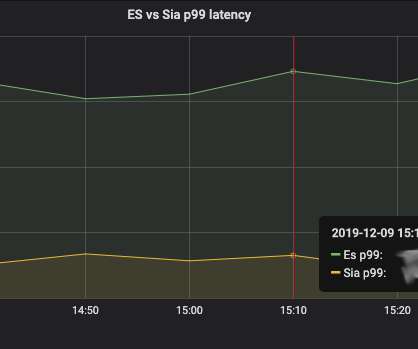
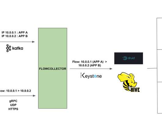
Apache Kafka® is a distributed commit log, commonly used as a multi-tenant data hub to connect diverse source systems and sink systems. Source systems can be systems or records, operational […].

Expert insights. Personalized for you.


Let's personalize your content