If you struggle to choose an appropriate coordinate system, you’re not alone. The good news is that choosing a coordinate system just got easier. In ArcGIS Pro 3.2, there are new filtering options available to help with this choice.
- Filter by spatial extent
- Filter by geographic coordinate system
- Filter by projection property
- Combine filters
- Filter vertical coordinate systems
To access the filters, in the coordinate system picker, click the Filter Coordinate Systems button.

The Filter Coordinate Systems window has three toggle buttons for the three ways you can filter the list of coordinate systems: Spatial extent, Geographic coordinate system, and Projection property.

Filter by spatial extent
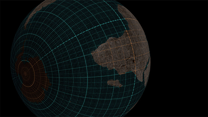
You can use the Spatial extent filter to find coordinate systems that are suitable for a specific part of the world.
For example, in the image below, in the Get extent from box, I clicked a layer in my map named Glaciers. The Selected extent numbers updated to match the extent of the Glaciers layer.

Now the coordinate system picker will only list coordinate systems that have extents (yes, coordinate systems have extents!) that overlap with the extent of the Glaciers layer.
Filter by geographic coordinate system
You can use the Geographic coordinate system filter to find projected coordinate systems (PCS) that use a specific underlying geographic coordinate system (GCS). All PCS have an underlying GCS as part of their definition.
For example, in the image below, I chose the GCS ISN 2004, because it is the coordinate system used by the feature layer in my map. It’s ok for the feature layer to use a GCS, but the map really should use a PCS. (Read Geographic vs Projected Coordinate Systems to learn why.)
For a map, it’s best to choose a PCS with the same underlying GCS as its data, to avoid the need for transformations.

Now the list of available projected coordinate systems will be filtered to only include those that use ISN 2004 as their underlying GCS.
Filter by projection property
You can use the Projection property filter to find projected coordinate systems that preserve specific qualities in the map, such as area, local angle, or distance.
For example, in the image below, I chose Equal-area because I know I’ll be performing spatial analysis with my map and I want to ensure area measurements are accurate.

Now the list of available projected coordinate systems will be filtered to only show those that preserve area.
Combine filters
You can choose to use only one or two of these filters, or all three of them together. In my example, I applied all three. The Projected Coordinate System list was filtered to only two items. My choice is now a lot easier: I only have to choose between two options, instead of hundreds.

I also know that both options are appropriate coordinate systems for my map, since they fit the criteria I set in the Filter Coordinate Systems window.
Filter vertical coordinate systems
The filter feature is especially helpful if you need to choose a vertical coordinate system.
Vertical coordinate systems (VCS) can be ellipsoidal-based or gravity-related. An ellipsoidal VCS will only work if it uses the same datum as the horizontal coordinate system it is paired with. In the example below, the ellipsoidal VCS I chose (ETRF 1989) has a different datum than my selected horizonal coordinate system (ISN2004 LAEA Iceland), so I received an error message.

There is only one matching ellipsoidal VCS for any horizonal coordinate system. Fortunately, you don’t need to click every ellipsoidal VCS in the list until you find the one that works. Instead, you can filter the list by geographic coordinate system.

By default, the Geographic coordinate system filter is set to the GCS used by the current horizonal coordinate system. Once the filter is applied, the list of available VCS is filtered to show only one result: the ellipsoidal VCS that matches the selected horizonal coordinate system.

Conclusion
If you struggle with choosing a projection, I recommend you try the new filters. You can also try the tutorial Choose the right projection to learn more tips and concepts that can help you with this choice.


Article Discussion: